

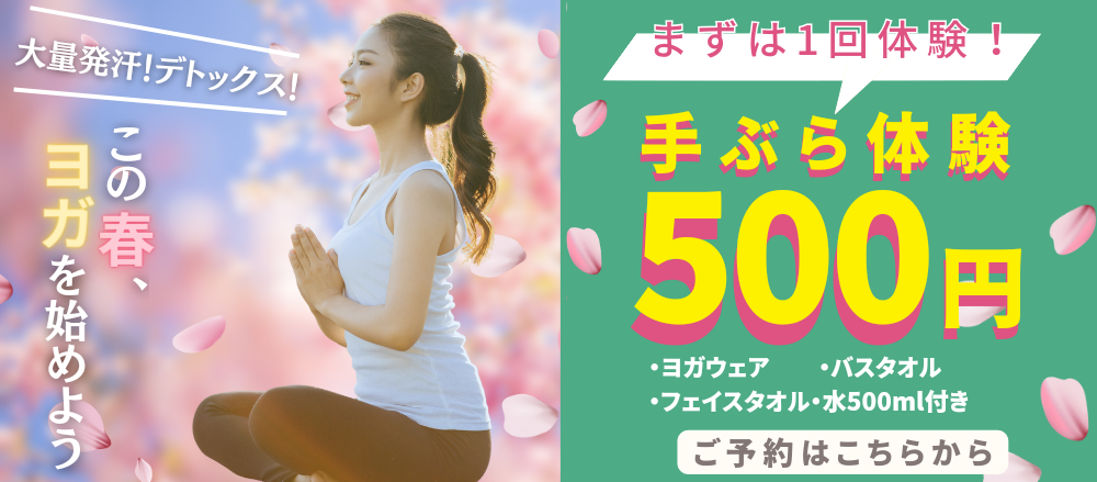
まずは気軽に体験レッスンから
営業時間
平日 9:30~21:30/土日 9:30~18:00/祝日9:30~21:30
平日 9:30~21:30/土日 9:30~18:00/祝日9:30~21:30
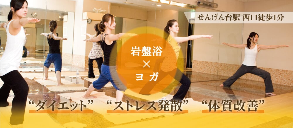

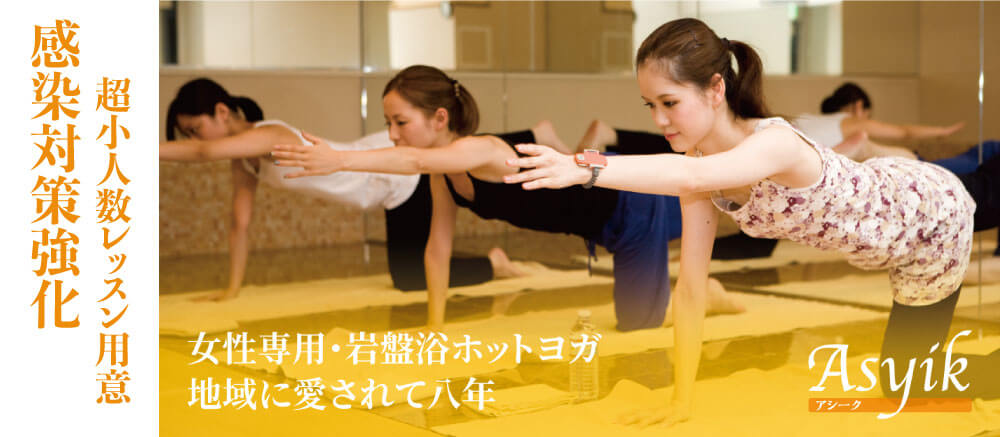
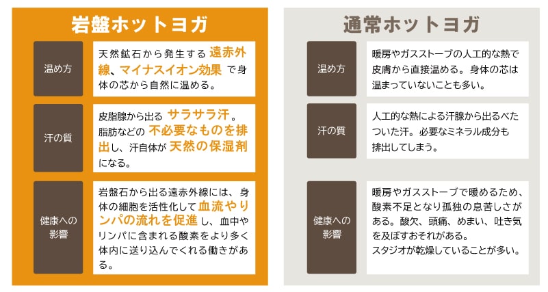
岩盤スタジオでかく汗は、無臭でさらさらです。天然石の遠赤外線効果で体を芯からあたためます。暖房器具を使ったホットヨガ独特の息苦しさや乾燥がありません。マイナスイオン発生率の高い「貴宝石」を採用しています。
スタッフやインストラクターも全て女性。経験豊かなインストラクターが初心者にもわかりやすく丁寧に指導します。
少人数レッスンで近い距離で指導を受けることができるため、初めての方でも安心して上達できます。
冷えタオルや水素水飲み放題などのアフターサービスが基本料金内で受けられます。 運動後にも心地よい時間をお過ごしください。
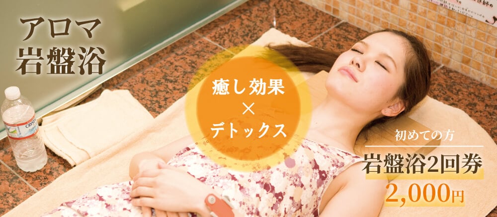
また、ヨガレッスン前には、15分の岩盤浴が無料でご利用可能です。